LAIA Observatory: Quantitative Land Valuation for a Custom Development
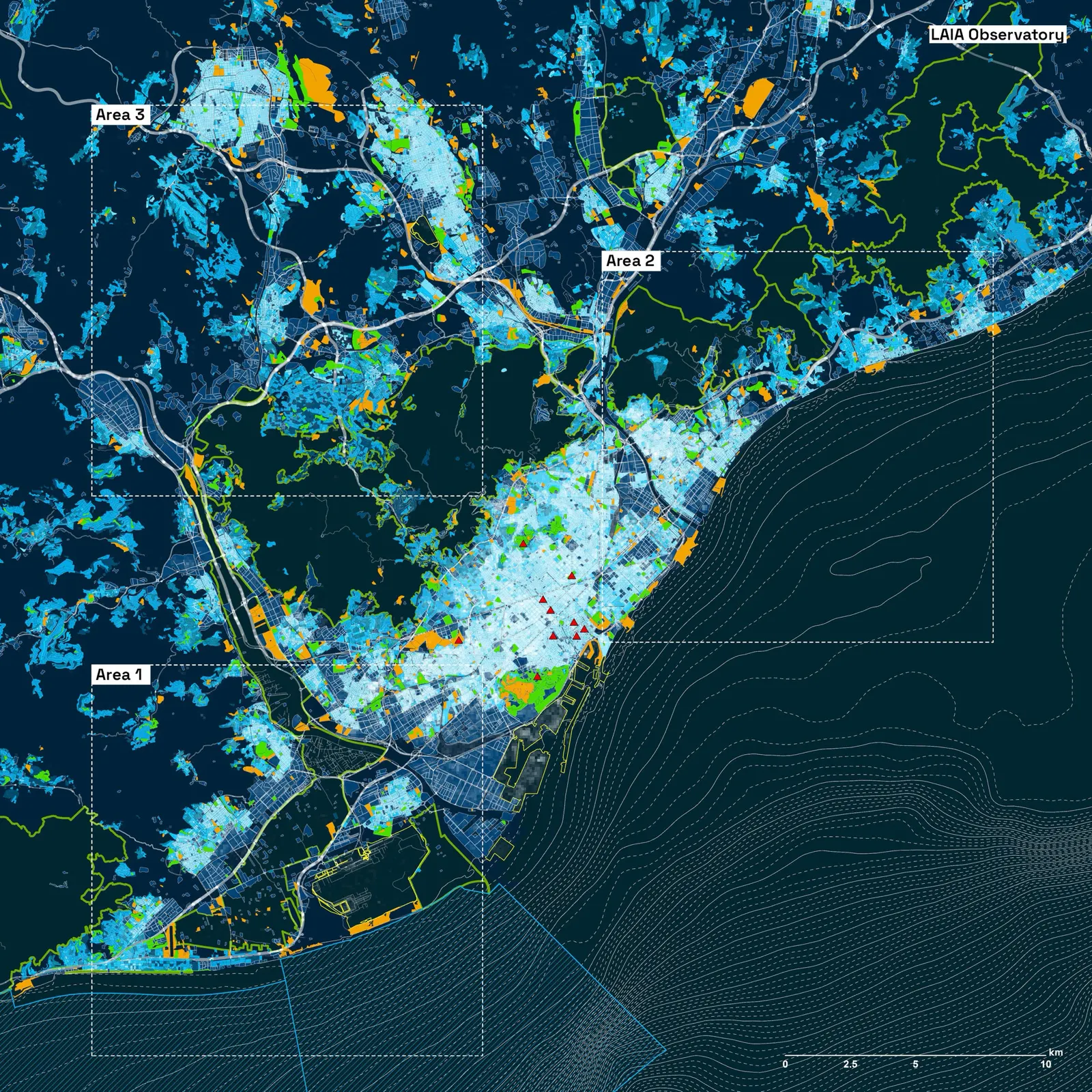
The Observatory streamlines the real estate land valuation process through its PlotFind tool. It serves as a resource for land developers, buyers, and business owners to assess, identify, and arbitrage the best development opportunities, for residential, commercial, and industrial purposes. This exercise demonstrates how the PlotFind tool identifies real estate opportunities in the housing market of Barcelona.
Analysis
The process is underpinned by reliable geographical and property data sources. It leverages AI for data mining, efficiently processing the data through its algorithms to derive valuable and comprehensible insights. The Observatory assigns scores to different regions based on user-defined factors such as growth potential, market demand, infrastructure, and more. These scores help users to pinpoint the most promising areas for their specific development needs.
This study presents unbiased results obtained through data interpolation. The analysis assists individuals, real estate developers, land developers, and other entities in identifying opportunities within the real estate market. Following this study, participants can compare it to market valuations and engage in large-scale real estate arbitrage.
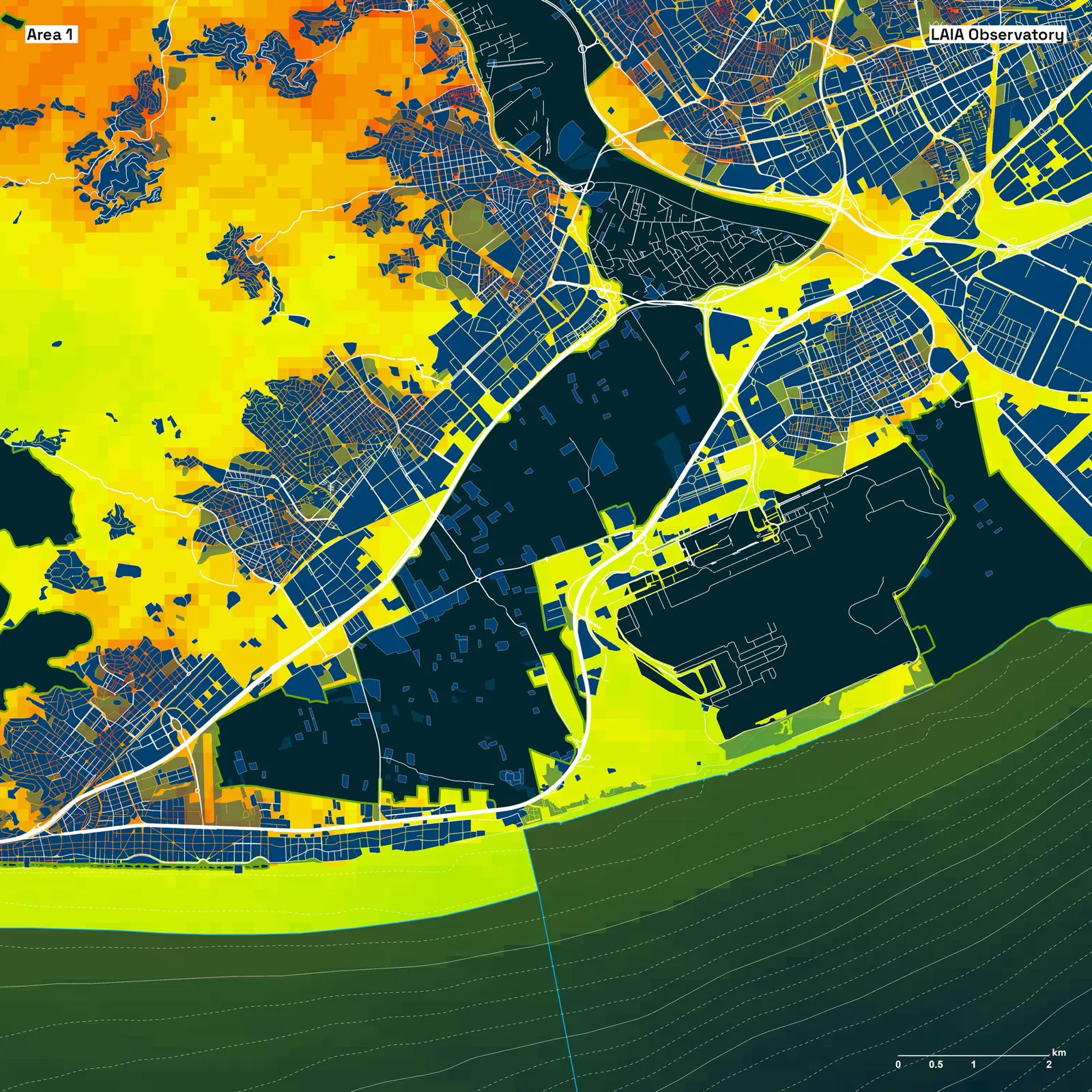
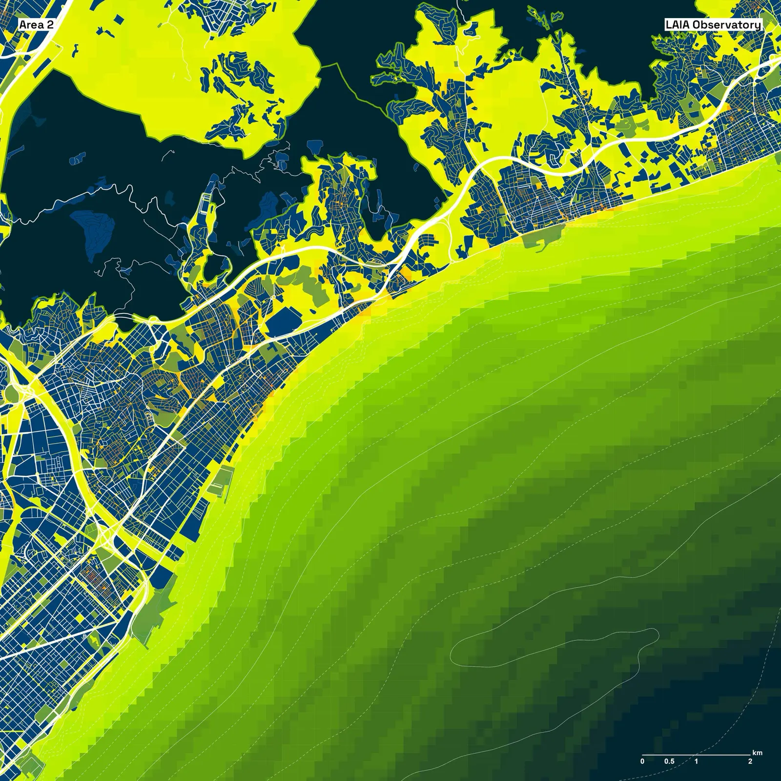
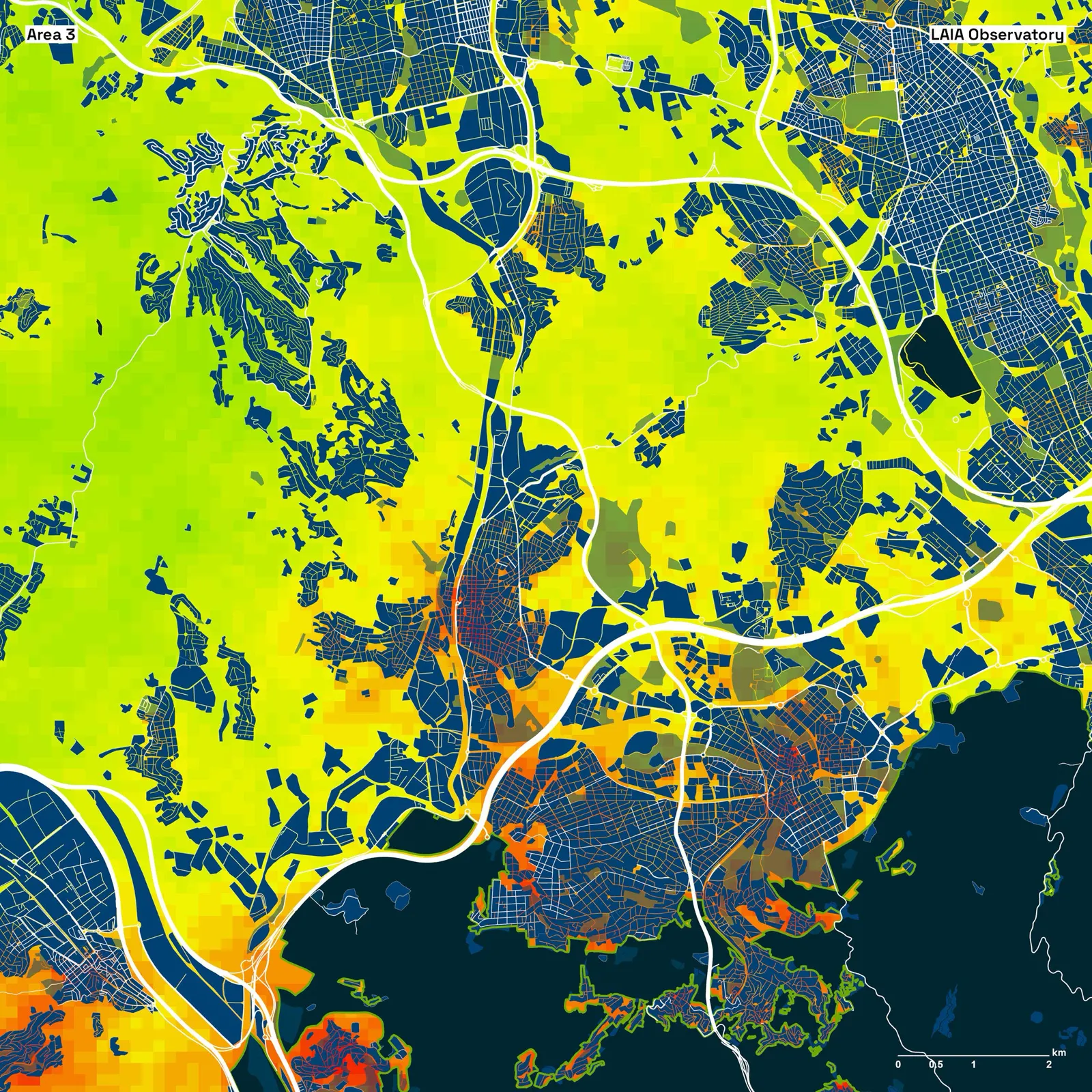
In this particular case, the Observatory has examined three different areas in Barcelona, with the requirement that the land be undeveloped and without any structures for residential purposes. The results highlight the most valuable land in red, enabling our clients to identify points of interest to initiate arbitrage activities and to inform their risk management.
Why do we develop this?
Traditionally, land valuation is a complex undertaking requiring expertise and data management from multiple sources. The Observatory simplifies this process by centralizing all the essential data and tools within its platform. This simplification facilitates users in evaluating land value and development potential, thus democratizing and automating this process to a wider audience.
Note: This analysis is adjustable to various needs and applied to every city worldwide
Let us know your thoughts and contact us if you would like to know more at www.laia.org
Originally published on Medium on 30 October 2023: read the original.