Flood Resilience Audit
Flood exposure across your territory, where today’s warnings fall short, and where alert nodes would protect the most people.
What you get
- Flood exposure mapped across your territory: people, buildings and critical infrastructure.
- Where today’s warnings fall short: coverage gaps, connectivity and response times.
- The places where alert nodes would protect the most people, ranked.
- A deployment outline and budget for FloodLink nodes.
How it works
From first call to answer in weeks.
1 · Scope
A free call to agree the question, the area or building, and what you receive. You get a fixed fee before anything starts.
2 · Analysis
We run it on our own tools and data, with a check-in halfway so the result answers the decision you actually face.
3 · Handover
The report, maps and files, walked through in a review session with your team. Yours to keep and share.
From the lab
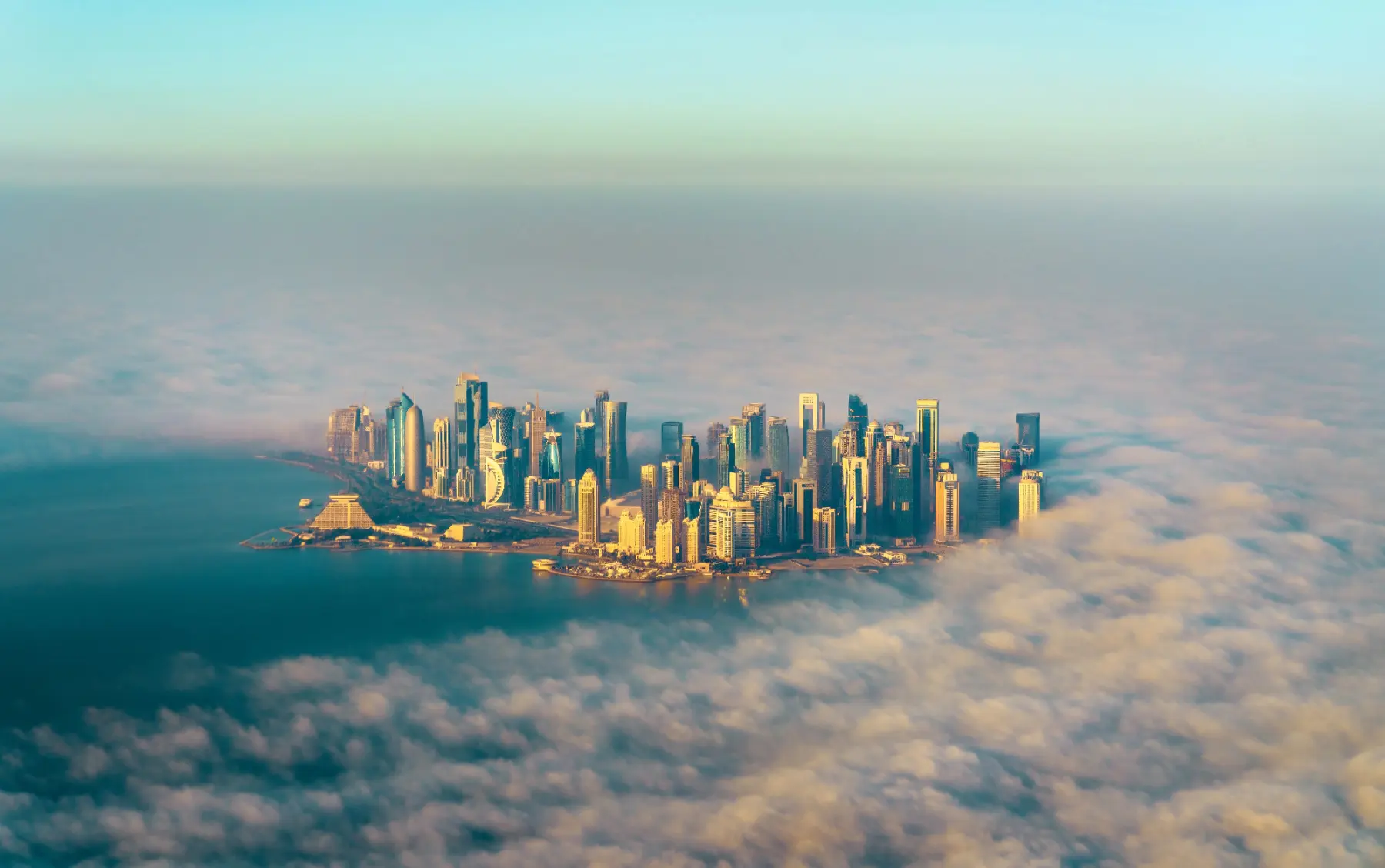
Coastal Resiliency
Coastal Resiliency is one of LAIA’s six fields of research. This work led to FloodLink, which the study runs on.
All 9 projectsReady to scope it?
Tell us about the site, territory or building. We will come back with a scope and a fixed fee.